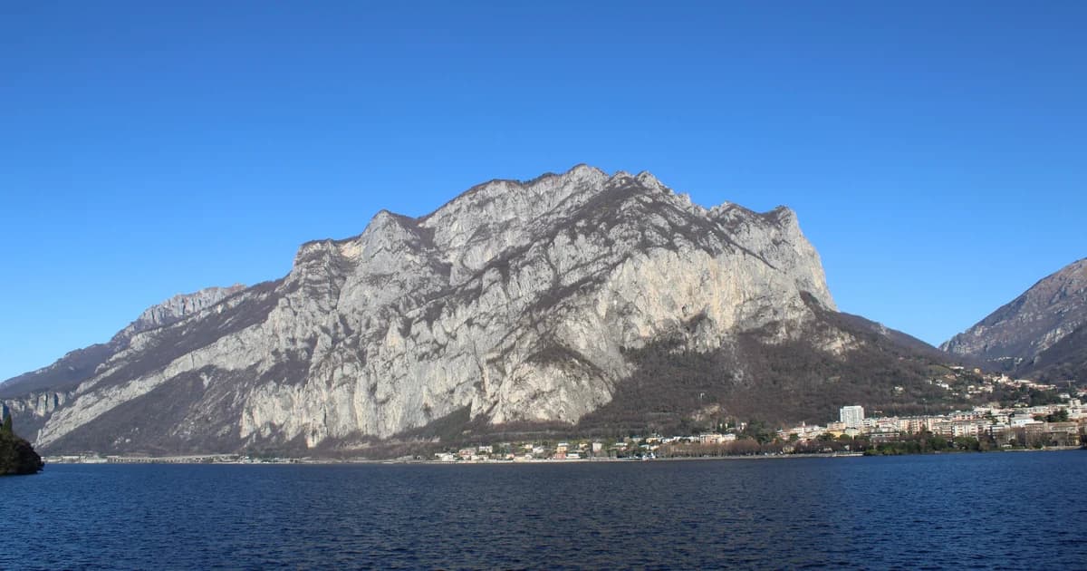
Choose by difficulty, not by Instagram
Lake-level sunshine does not make the upper trails benign. Limestone, leaf-covered mule tracks, summer thunderstorms and lingering snow can change the character of a route. Distances in different apps also vary because users record different start points.
The figures below are planning ranges, not a substitute for a current CAI map. Download the track before leaving Wi-Fi, turn around when visibility closes, and carry water: reliable fountains are not guaranteed above the villages.
| Trail | Level | Planning range | Best feature |
|---|---|---|---|
| Greenway del Lario | Easy | 10+ km point-to-point | Villages, villas and frequent exits |
| San Martino, Griante | Moderate | Short but steep | Immediate central-lake panorama |
| Monte Crocione | Hard | Full mountain day unless starting high | Big Tremezzina ridge views |
| Rifugio Menaggio / Monte Grona | Hard | Half/full day | Classic pre-Alpine terrain |
| Sentiero del Viandante | Moderate | Choose one rail-linked stage | Flexible east-shore traverse |
1. Greenway del Lario
The official route runs for more than 10 km through Colonno, Sala Comacina, Ossuccio, Lenno, Mezzegra, Tremezzo and Griante. It mixes old lanes, lakefront and sections near roads rather than behaving like an isolated woodland trail.
From Tulipani 11, join the marked route in Tremezzo and walk south toward Lenno/Ossuccio for the most attraction-rich half, or north toward Griante for Villa Carlotta and the central-lake ferry. Bus and boat stops make a one-way walk practical.
- Best for: families, mixed groups and the first or last day.
- Surface: paving, lanes, steps and roadside sections; not a continuous flat promenade.
- Navigation: follow Greenway signs, but keep the official stage description open at village junctions.
- Heat plan: start early in July–August; shade is intermittent.
2. San Martino above Griante
The small church on the rock wall above Griante gives one of the highest view-to-effort ratios on the central lake. The route climbs quickly from the village on stone and woodland paths; it is not a casual flip-flop walk despite its short distance.
Start from Griante/Cadenabbia, follow local signs for San Martino and return the same way. In wet weather the descent deserves more attention than the ascent. Combine it with the Greenway rather than adding a second mountain objective.
3. Monte Crocione
Monte Crocione is the serious hike directly behind Tremezzina. Routes from lake level involve substantial ascent; higher starts near mountain roads or Rifugio Venini reduce the climb but add a narrow seasonal drive and do not remove navigation risk.
Use a current CAI/topographic route and confirm road access locally. The summit ridge is exposed to weather, and low cloud can erase the visual landmarks that make the route seem obvious in photographs.
- Only attempt in stable weather with proper footwear and an offline track.
- Do not quote one universal distance: lake-level, Boffalora and Venini starts are different hikes.
- Avoid after fresh snow unless equipped and experienced for winter mountain conditions.
4. Rifugio Menaggio and Monte Grona
The Menaggio–Plesio side offers a classic progression: hike to Rifugio Menaggio, then decide whether conditions and the group justify continuing toward Monte Grona. The upper mountain is materially harder than the refuge walk.
Road access, refuge opening and public transport are seasonal. Check the refuge and local tourism information directly rather than assuming food, water or a return bus will be available.
5. Sentiero del Viandante
This historic route follows the eastern shore from the Lecco side toward Colico and beyond. Its major advantage is the railway: choose a stage between rail-served villages and return by train instead of retracing every step.
From Tremezzo, cross to Varenna or reach the east shore through a central-lake ferry connection. Do not confuse the Church of San Martino near Abbadia Lariana, mentioned in the first official stage, with the San Martino viewpoint above Griante.
A practical hiking base in Tremezzo
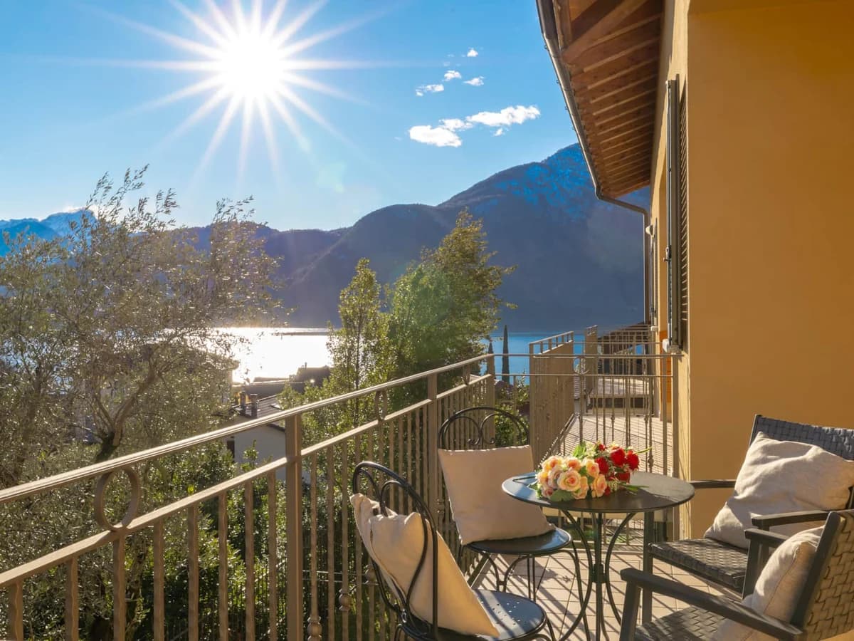
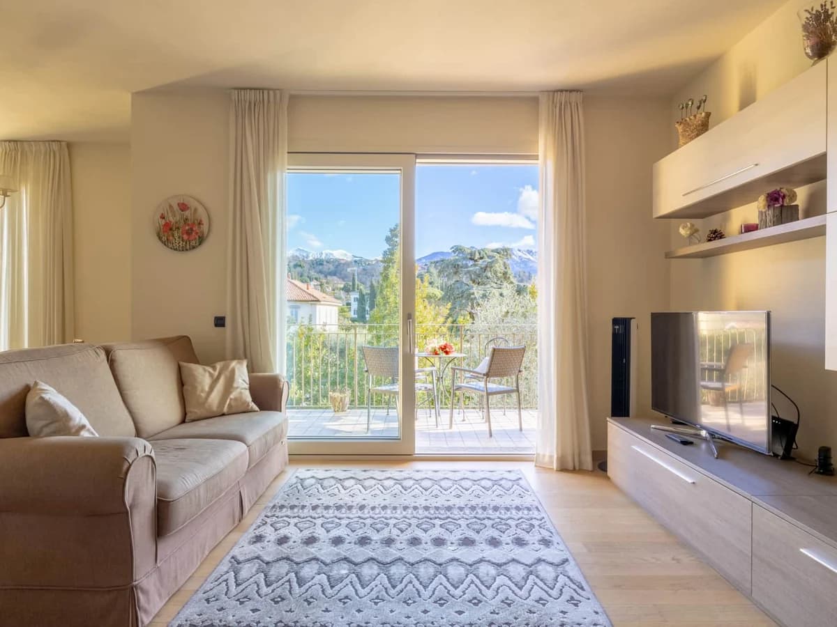
A washing machine, two bathrooms and a kitchen matter after a wet or dusty trail more than another hotel lobby. Tulipani 11 accommodates four, has air conditioning and Wi-Fi, and puts the Greenway and central-lake transport within the Tremezzo area.
See Tulipani 11 or compare all ComoStay apartments for a different trailhead or group size.
Fact-check note
Checked 5 October 2026 against the official Lake Como destination pages for Greenway del Lario and Sentiero del Viandante. Route statistics for mountain objectives vary by trailhead, so this guide avoids false single-number precision and directs hikers to a current local/CAI track.